Maps and compasses remain in the past and give way to modern means of navigation. Reliable navigator who does not make mistakes and does not get tired - the navigator. It is only important to update the software in a timely manner and monitor the charge of the device.
Content:
The best manufacturers of navigators - which company to choose
In the Russian market, popularity was gained by products of manufacturers from Europe, America, Asia and Russia.
We recommend to pay attention to the navigators of the brands that are most in demand:
- Navitel;
- Digma;
- Dunobil;
- Prology;
- LEXAND;
- Garmin.
AT ranking best gps navigators for car and in the article best tourist navigators according to customer reviews You can get acquainted with the features and characteristics of the most popular models.
The principle of operation and the device navigator
The main components that ensure the operation of the device:
1. Chipset, including processor;
2. Antenna;
3. Display;
4. Power supply;
5. RAM;
6. BIOS memory;
7. Flash memory;
8. Software.
The navigator receives signals transmitted by GPS satellites orbiting the Earth’s medium orbit and calculates its position in space.
In total, the navigation system includes 24 satellites. To determine the two-dimensional location, taking into account the coordinates of latitude and longitude, the device must process signals from at least three satellites.
Each incoming radio signal contains information about the location of the satellite in orbit and the current time. Comparing the time of receiving the signal and the time it was sent, the navigator determines the distance to its source.
After processing the information from several satellites, he finds the point of intersection of the coordinates, which is his location. In the device’s memory, a map has been loaded onto which this point is positioned, which clearly shows the location of the object relative to the surrounding terrain.
Types of navigators
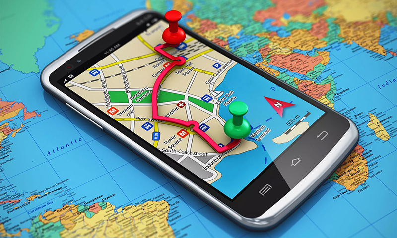
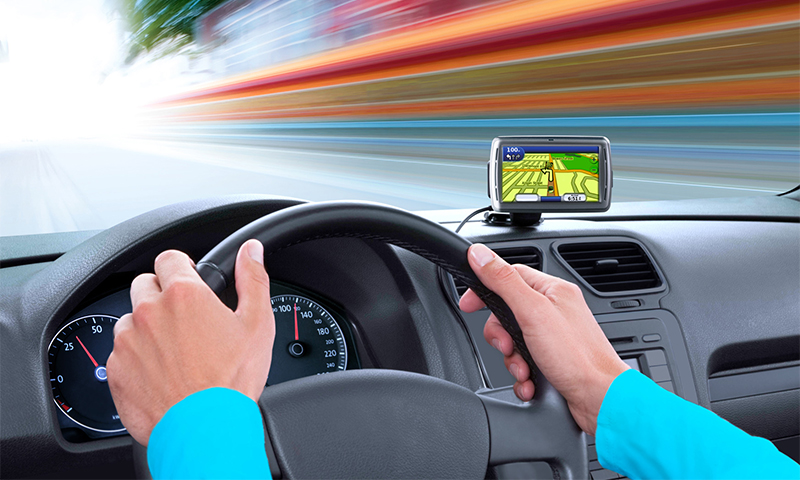
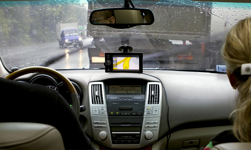
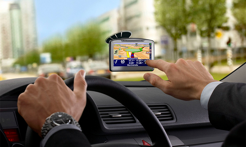
Car navigator
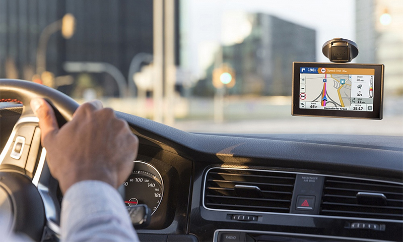
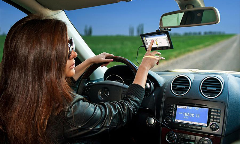
Car Navigator will help to pave the route to the final destination with the arrangement of waypoints, it is comfortable to travel with him in unfamiliar areas, it is indispensable when traveling long distances.
The device can be installable and removable. Specific car models have built-in navigators that are powered by the on-board network.
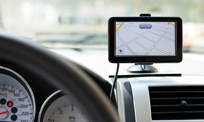
Standalone devices are made in the form of a tablet, suction cups or special brackets are used to mount them. A cigarette lighter plug can be used for power, some models are powered by an internal battery.
Navigators are available with different hardware capabilities and operating systems installed (Windows CE and Android).
Main features of the device:
1. Designation of location on the map, taking into account the direction of movement and speed;
2. Search for the required address in the database;
3. Selection of the optimal route;
4. Graphic image of the route;
5. Interactive assistance while driving;
6. Sound accompaniment.
Benefits:
- The anti-reflective coating of the display scatters incident light - the image on the screen can be seen even in direct sunlight;
- The optimal selection of the screen diagonal - the device does not interfere with the review, but allows you to consider the details of the route on the map, while continuing to move;
- Most manufacturers provide access to electronic card updates for a certain time or for the entire period of operation of the device;
- High power antenna provides high quality communications;
- Most models are equipped with modules with internet connection, which allows to get information about traffic jams in real time.
Disadvantages:
- Limited functions;
- There may be difficulties in acquiring or updating maps of remote Russian regions and remote places;
- "Binding" to the car.
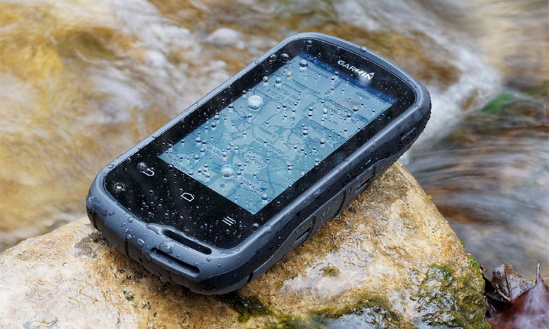
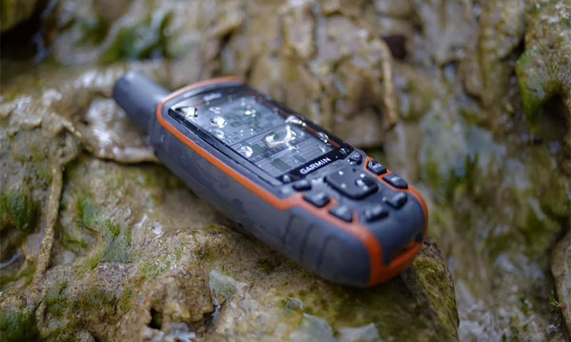
Tourist navigator
Most smartphones have GPS support, so the question arises about the need for a tourist navigator. But using a smartphone as a navigator can only be considered for going on a picnic or for an easy march around the dacha, since in difficult conditions their positioning accuracy tends to zero.
An obstacle for receiving a signal is not only deep canyons and dense thickets, but also weather conditions: heavy snow or rain, low clouds.
Therefore, lovers of hiking, mushroom pickers, hunters and fishermen, discovering new places for themselves, need a tourist navigator. Its control can be push-button or touch.
It is the button models designed for use in extreme conditions - they are not afraid of cold, you can ask the command without removing gloves and gloves. Their main plus is the performance even if the screen is damaged.
Many models allow you to collect important for the tourist statistics:
1. Maximum and average travel speed;
2. Time taken to route;
3. Stopping points;
4. The distance traveled and the rest of the way to the destination.
Tourist navigators are divided into three main groups:
1. Simple models without loading maps. After entering the destination coordinates, the device indicates the path with an arrow. When returning give a reverse projection of the route;
2. Models with loaded maps and with the possibility of adding them, but in limited quantities;
3. Devices with memory card slots that change when needed. Can be used for car maps.
Benefits:
- A long period of work, which can exceed 24 hours (for the power supply, a set of replaceable batteries and (or) a large-capacity battery is used);
- High quality of reception of a signal irrespective of differences of heights and weather conditions;
- Most models have increased protection against mechanical damage, moisture, dust and cold.
Disadvantages:
- The impossibility of changing the program (the program can only be changed using hacker actions);
- Most models have a small screen (2.2-3 inches);
- A small number of functions (except navigation).
Navigator selection options
Software
1. Navitel
Software from Russian developers. This is one of the common programs that are installed by default by manufacturers. It works on 9 operating systems, supports dozens of languages. It has the specification of tens of thousands of cities and towns of Russia.
2. Autosputnik
Software from Russian manufacturers, maps of which also have improved detailing. Supports free Yandex service.
2. GARMIN
The software is installed only in the navigators of the same company. The peculiarity of the universal Garmin maps is the drawing not only of asphalt roads, but also of sidewalks, stairs, dirt roads and glades, which you can not only drive, but also walk.
4. IGO
Feature of the software - the image of realistic three-dimensional buildings. Designed for use in megacities and European countries, the program is not adapted for the Russian hinterland.
Card types
Graphics cards can be raster and vector. Raster graphics are high-quality satellite imagery, installed on tourist navigators, they can see the relief of the area.
On vector maps there are points that will be interesting for drivers - buildings, gas stations, hotels. There is a numbering of houses and street names.
Type of satellite system
Most navigation devices only support GPS signals.The ability to support signals from two satellite systems (GPS and GLONASS) increases the cost of the navigator, but increases the reliability of data reception and increases the accuracy of determining the coordinates.
Multichannel
The number of satellites from which the navigator can catch the signal simultaneously, increases the efficiency of the device. The more channels there are, the more data will be received and processed from the satellites. Most models have 8-12 channels, there are devices with 20 channels.
CPU
The processor (GPS chipset) processes the received signal and ensures the efficiency of applications.
When choosing, the processor clock frequency is important - the larger the indicator, the more “smart” the navigator is - the signals are quickly processed, the applications are loaded and running. It should be borne in mind that the speed of the system affects the amount of memory.
The operability of the navigation system is provided by a processor with a frequency of 500 MHz, but for fast operation of applications, including video, a processor with a frequency of at least 1000 MHz is needed.
operating system
The operating systems used in navigators are Windows CE and Android. Devices running the Android OS are more “nimble”, software developers form primarily updates for this operating system.
Products on Windows CE "slows down", map updates may appear with a delay. But while the market offers the majority of models on WinCE, they are distinguished by a lower price.
Display
Devices with a diagonal of 5-7 inches are more convenient when reading information. The quality of the image depends on the screen resolution - the higher the indicator, the higher the quality. A resolution of 800x480 for a 5-inch display and a resolution of 1024x600 for a 7-inch display will provide a good picture.
Additional functions
Additional features make the navigator more convenient and functional, but even without them, the selected device will perform its direct duties.
the Internet
It allows you to update the operating system and mapping data without connecting to a computer. With the help of the Internet, you can track real information on traffic jams, choose the best route and save time.
You can connect the Internet Navigator to the network if you have a GSM module (you need a SIM card) or using a Wi-Fi wireless module.
FM transmitter
If available, the navigator can be used as a means of communication. If the device is equipped with Bluetooth and supports the call function, you can connect it to the audio system through the radio, which will allow you to make and receive calls without distracting from the road.
Bluetooth
A module that allows you to connect the navigator with a computer and phone. Synchronization with the phone will allow access to the Internet and receive information about traffic jams.
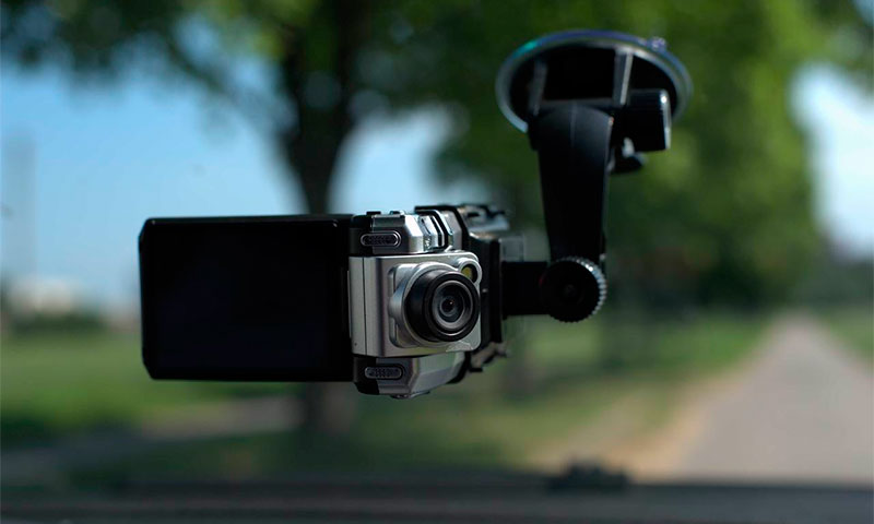
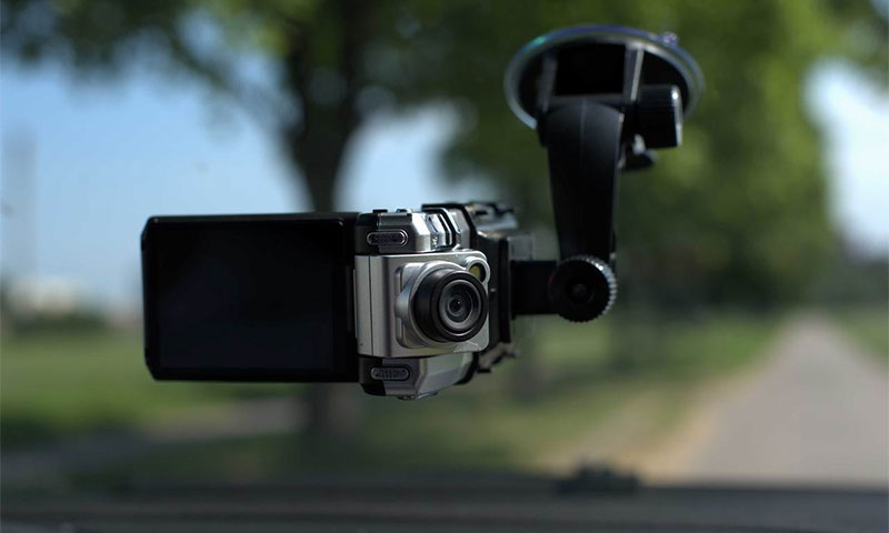
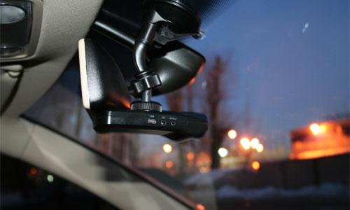
DVR
Some models combine the functions of the navigator and the DVR.
1. Budget models have, as a rule, a 1 megapixel camera.
2. More expensive devices are equipped with cameras 2 and 3 MP.
An important feature is also a video compression codec. Preferred devices that support H.264 or MPEG4.
Radar detector
Devices with built-in radar detector will give the driver information about each radar on the way.
Which navigator to choose
1. Navigators with convenient Navitel maps are convenient for traveling in Russia - they are widespread, detailed, and often updated. In addition, they come with a paid license to most devices;
2. If the driver plans to have a car eurotour, then the navigator with IGO cartography will be the best choice. Maps of this system are well developed and detailed. With them, Europe will seem like a home;
3. Garmin cartography is the ideal solution for those who plan to use the navigator in Russia and in Europe. It is supported only by devices of the same name;
4. GPS-navigator with software Autosputnik is the best choice for truck drivers, they are very convenient when moving from point to point, they are informative.
5. For a taxi driver who must pass the time while waiting for a client, it is preferable to stop the choice on an Android OS navigator that supports a large number of applications;
6. When purchasing a tourist navigator for hiking, fishing or hunting, you need to pay attention to the protection of the device from damage, moisture, as well as the battery capacity and the possibility of using batteries.
How much is the navigator
1. Navigation tool for the car, depending on the brand, characteristics and additional functions will cost from 1.2 thousand rubles. up to 32 thousand rubles. The maximum price for American Garmin navigators. A device with good performance can be purchased for 5-7 thousand rubles.
2. Navigator, performing the functions of the DVR, will cost from 6 to 19 thousand rubles;
3. A device that can additionally perform the functions of a radar can be purchased for 7-10 thousand rubles;
4. Navigator 3 in 1 (with radar and DVR) costs from 10 to 28 thousand rubles.
5. Prices for tourist navigators "bite". For simple models the price is from 8 thousand rubles. Devices with advanced navigation functionality cost 18-24 thousand rubles.
It will be interesting to friends too